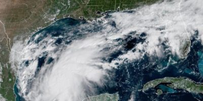
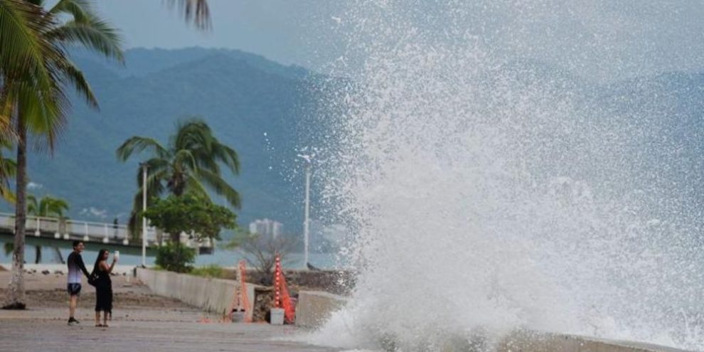
Residents along Mexico’s Pacific coast, including communities near the popular resort city of Puerto Vallarta, are bracing for potentially catastrophic conditions as Hurricane Simon continues tracking northward just offshore as a powerful Category 4 storm.
Forecasters say the hurricane’s eye has remained over water, helping Simon maintain maximum sustained winds of 150 mph (240 km/h) as it moves along a stretch of coastline where resort destinations sit alongside more vulnerable communities tucked between the Sierra Madre mountains and the Pacific Ocean.
Storm remains dangerously close to shore
At daybreak Sunday, Simon was centred about 175 kilometres south-southeast of Cabo Corrientes and moving north-northwest at 9 km/h.
Forecasters at the U.S. National Hurricane Center said uncertainty remains over whether the storm will actually make landfall. A track that stays just offshore could allow Simon to retain its extreme strength longer.
“Simon is very close to the coast of Mexico this morning,” senior hurricane specialist Phillipe Pappin told The Associated Press on Sunday.
Pappin said the coastline under a hurricane warning faces severe impacts regardless of whether the storm’s centre crosses land.
“We’re expecting catastrophic wind and life-threatening storm surge impacts along that west central coast of Mexico where the hurricane warning is currently in effect,” Pappin said. “They’re also getting very heavy rainfall associated with the storm that’s likely going to produce life-threatening flooding and mudslides in areas of higher terrain along the Mexican coastline, and there will be significant swells.”
Cabo Corrientes seen as highest-risk area
Pappin said predicting the exact path remains challenging because the eye is moving almost parallel to the coastline.
As for predicting whether or not Simon will make landfall, “it’s a little tricky right now” to forecast, since the eye “is basically moving very close or parallel to the coast currently," Pappin said.
Still, forecasters believe Cabo Corrientes, located west of Puerto Vallarta, is the most likely location to take a direct hit if the hurricane reaches shore Sunday.
Flooding and mudslide risks increase
Heavy rainfall associated with Simon is already affecting parts of southwestern Mexico.
The hurricane could dump between 10 and 20 inches (25 to 50 centimetres) of rain across many areas, with isolated totals reaching 30 inches (76 centimetres) in parts of the states of Michoacan, Colima and Jalisco.
“This rainfall will produce life-threatening flooding and mudslides, especially in areas of steep terrain,” the hurricane centre warned.
The combination of mountainous terrain and intense rainfall raises the risk of landslides in communities located along coastal slopes and valleys.
Preparations underway in tourist areas
Authorities in Jalisco state suspended classes Friday and Monday in 22 coastal municipalities while evacuations took place in areas considered most at risk.
Officials also called on the tourism industry to ensure both employees and visitors could be accommodated in shelters or other safe locations.
In Puerto Vallarta, businesses including hotels and convenience stores spent Saturday boarding up windows ahead of the storm's arrival.
Forecasters also warned of a dangerous storm surge near and east of any eventual landfall location. Large, destructive waves are expected to accompany the surge along the coast.
Tourists watching and waiting
Despite the approaching storm, some visitors were still uncertain about what to expect.
Canadian tourist Ed Currie, who was vacationing in Puerto Vallarta with his wife and had five days remaining on the trip, said the hurricane had not yet changed their plans.
“Just stay in the hotel and look out the window hopefully,” he said of what the couple would do. “I just don’t know what to expect.”
- with files from the Canadian Press