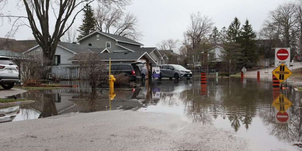
Residents along Lake Simcoe are being urged to stay alert as shoreline flooding continues in low-lying areas, with the Lake Simcoe Region Conservation Authority extending a high risk shoreline hazard watch through May 8.
The conservation authority says water levels in Lake Simcoe are sitting at 219.40 metres, about 31 centimetres above average for this time of year, contributing to flooding in shoreline communities including Barrie, Innisfil, Georgina, Ramara and Orillia.
Officials say while lake levels appear to have peaked, more rain in the forecast could worsen conditions. After 10 to 20 millimetres Friday, another 10 to 30 millimetres could be added through the weekend.
Barrie's News Delivered To Your Inbox
By submitting this form, you are consenting to receive marketing emails from: Central Ontario Broadcasting, 431 Huronia Rd, Barrie, Ontario, CA, https://www.cobroadcasting.com. You can revoke your consent to receive emails at any time by using the SafeUnsubscribe® link, found at the bottom of every email. Emails are serviced by Constant Contact
Compounding the risk are sustained easterly and northeasterly winds expected through the weekend, with gusts up to 50 kilometres per hour. The conservation authority says those winds acting on already high lake levels could generate waves and localized storm surge effects, increasing flooding in exposed shoreline areas.
There is also concern over possible dike overtopping or failures in the Keswick, Colbar and Bradford polders. Officials say breaches have already been reported in East Gwillimbury.
Parks Canada is continuing a gradual increase in outflows from the lake, though officials say water levels are expected to remain above seasonal norms for weeks.
Property owners in flood-prone shoreline areas are being advised to prepare for possible impacts, including sandbagging where needed.
The conservation authority warns evacuations may become necessary in some low-lying areas if dikes or berms fail, although that's a worst-case scenario.
Other potential risks include damage to docks, boathouses and shoreline infrastructure, as well as adverse affects to agricultural lands
The current shoreline hazard watch replaces a previous advisory issued April 20.
WATER LEVEL TIMELINE
- March 31: 219.06 m
- April 8: 219.19 m
- April 13: 219.23 m
- April 16: 219.34 m
- April 19: 219.39 m
- April 24: 219.40 m