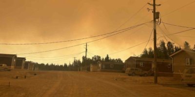
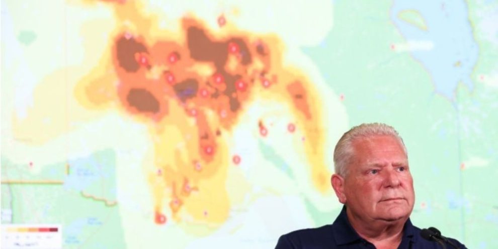
Wildfires raging in northern Ontario appear to have pushed the province to its worst wildfire season on record.
The province's latest numbers suggest fires have burned through more than 7,250 square kilometres of Ontario's forest, surpassing the previous record set in 2021.
The preliminary estimate is likely to be revised once officials get a closer look at the devastation, but it stands as a sign of how quickly the season has worsened.
The vast majority of that fire has burned in the past 10 days, on the back of severe thunderstorms and a scorching heat wave around Thunder Bay where temperatures soared to around 15 degrees above seasonal.
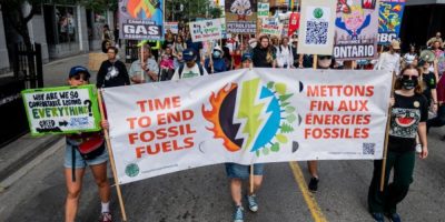
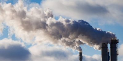
Climate change, driven by the burning of fossil fuels, is making wildfire seasons longer and more intense across Canada.
Ontario's fast-moving fires have prompted the evacuation of more than a dozen, mostly First Nation, communities and filled skies across the province and beyond with noxious smoke.
The largest contributor to Ontario's total is a massive 3,188-square-kilometre fire north of Thunder Bay.
Recent rain has helped to temper fire activity in northern Ontario, but officials warn the danger remains high.
"There hasn't been enough rain in the northwestern part (of Ontario) to really knock things down for the long term," said Liam Buchart, a fire weather specialist with the Canadian Forest Service.
Into August, the forecast suggests much of northern Ontario could remain hotter and drier than normal. While conditions may not be as intense as what the region just experienced, "a complete reprieve is not really in the forecast," Buchart said.
The preliminary area-burned estimates are compiled by the province's wildfire agency and shared with Canadian Interagency Forest Fire Centre, a non-profit that co-ordinates firefighting resources across the country. Federal wildfire records -- also known as the national burned area composite -- date back to 1972 and are derived in part from high-resolution satellite images.
Thick smoke is one of the factors that make it hard for officials to develop precise real-time wildfire estimates. Satellite images will eventually help to identify any unburned areas that may have been included in the initial tally.
This report by The Canadian Press was first published July 21, 2026.