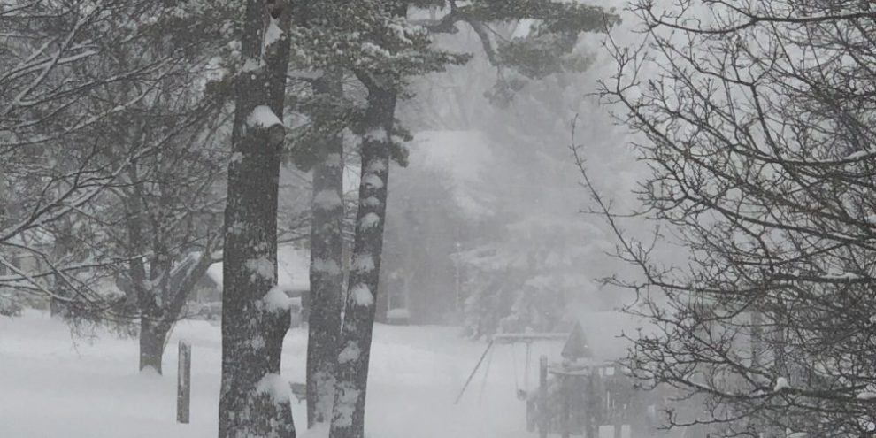
Depending on where you live in Central Ontario, there could be some serious digging out to do.
As of Friday afternoon, Environment Canada had posted snow squall warnings and watches from Barrie to Parry Sound, and west over to Grey and Bruce counties.
Geoff Coulson, warning preparedness meteorologist with Environment Canada, says while there could be heavier bursts of snow in Barrie on Friday evening, the worst of the activity will stay north of the city.
"By the time we get to Saturday most of the activity will have pushed north of Barrie more up into Midland and getting into Muskoka."
Environment Canada says parts of Parry Sound and Muskoka could see between 30 and 60 cm of snow by Sunday, and as much as 80 cm in portions of Grey and Bruce counties including Owen Sound.
This is because of the wind direction, which will be southwest, sending plumes of snow off of Lake Huron and east of Georgian Bay.
However, the Barrie area is not out of the woods.
"The concern is with a shift of winds on Sunday back to northwest, we could go right back to lake effect snow and fairly heavy snow for the Barrie area during the day on Sunday," says Coulson.
A gusty wind will accompany the snow squalls, and Coulson says travel will be problematic over the next couple of days.
Environment Canada says snow squalls cause weather conditions to vary considerably; changes from clear skies to heavy snow within just a few kilometres are common.
So, when does Barrie end up in the snow squall bullseye?
"Well, normally for Barrie, what we are looking for is a northwest wind coming right down the axis of Georgian Bay," explains Coulson. "Those are the events that tend to give the biggest amounts to Barrie itself."
"This one (snow squall event) is a bit of a hybrid where initially we're getting bands of snow coming off Lake Huron and Georgian Bay in this west to southwest flow, but certainly it looks like more of a classic setup for the Barrie-area on Sunday when the winds shift to the northwest and come right in off Georgian Bay."
Environment Canada says heavy snow in squalls is also expected this weekend off Lake Ontario in the Kingston and Picton area, as well as Fort Erie and Haldimand off of Lake Erie, where some places could top out at 50 cm by Sunday.
In fact, snow squalls could reach North Bay and Sudbury Friday night through Saturday, with local amounts of 40 cm.
Coulson says the situation is changeable and people need to pay attention to local forecasts and plan travel accordingly.