The heads up from Environment Canada came on Monday, then late Wednesday night a winter storm watch was posted for most of southern Ontario.
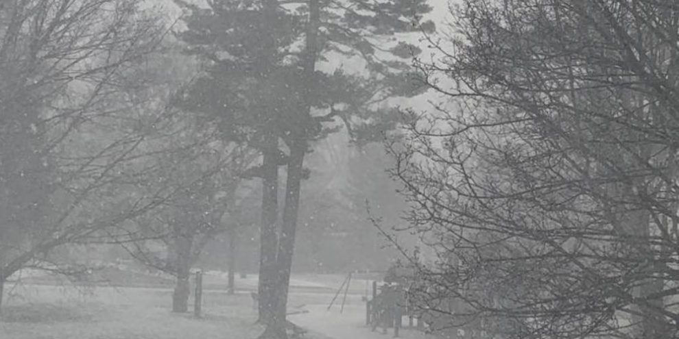
The storm is expected to fire up Thursday night and last until Christmas Eve on Saturday, with the potential for blustry conditions, blowing snow and local snow squalls through the weekend.
"Precipitation is expected to begin as snow or rain Thursday evening. Temperatures are expected to plummet on Friday morning leading to a potential flash freeze. Rapidly falling temperatures will be accompanied by damaging winds along with snow heavy at times. Extensive blowing snow will develop Friday morning. Very cold wind chills are expected to develop on Friday and persist into the weekend," Environment Canada said in a winter storm watch bulletin.
Forecasters say wind gusts of 90 to 100 km/h can be expected with widespread blowing snow and reduced visbility, along with snowfall amounts of between 5 and 15 cm by early Saturday morning and significant lake effect snow squalls possible on Christmas Eve and Christmas Day.
Downwind of Lake Huron and Georgian Bay, near-blizzard conditions are expected to develop Friday afternoon, especially in wide-open rural areas around Grey, Bruce and Dufferin counties with upwards of 25 cm of snow by Saturday morning.
The storm's arrival could not come at a worse time as many people will have planned trips to see family and friends during the holidays.
"Avoid travel if possible. Travel is expected to be hazardous due to reduced visibility in some locations," said the weather watch from Environment Canada.
Forecasters have not said where the brunt of the snow squalls will happen. A number of factors will come into play but just north of Barrie to Muskoka is looking more and more likely as well as the traditional snowbelt areas around Grey and Bruce.
Even where squalls are not happening, a strong wind through the weekend will create poor visibility in open areas.
This winter storm will cover a wide swath from Windsor to Ottawa and north to Moosonee.