Fall arrives at 2:50 Saturday morning, but we’re not done with summer quite yet.
There's this little thing called an El Niño lurking in the west that is likely to keep temperatures above normal through much of the season.
"El Niño is something that typically brings us a kind of a late start to winter," Environment Canada Chief Climatologist, David Phillips, said during an interview for Barrie 360's What Barrie's Talking About. "It keeps the fall kind of going a little longer, and it also takes the edge out of our winters."
The oceans have been hot tubs, said Phillips. The Arctic had its warmest summer ever, and it was torrid across the rest of Canada, except in southern and central Ontario. The Barrie area normally gets seven days above 30 Celsius through the summer months. There were just six before the end of August. Four more in September gave us ten.
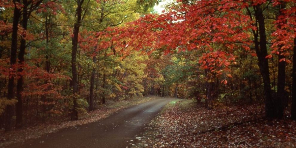
So, it was not a summer for heat-worshippers, but Phillips noted there's always an upside, or two, "We saved 30% on our air conditioning bills ... the vegetation has never been greener. It's been lush. The trees loved it, and that's why I think the reward for putting up with the wetness that we had will be a really good colour change season."
And as much as Phillips thinks temperatures will be above normal through the Fall, it's important to remember that's above normal for October, not July. "October's average temperature is typically about 11 degrees cooler. So right away, you're talking about sweater weather or jacket weather."
As for winter, it's still early to be making predictions, but Phillips believes El Niño will still be around, and that could mean more snow, "It could mean more snow just because it's milder. Mild could just bring more storms up from Texas, or it could keep the lakes open, so any kind of cold lingering effect from the north could then turn into lake effect snow."
But that's a story for, say, December 21.
banner image: file photo


