There is nothing like a hike in the woods to recharge and invigorate.
However, even if you think you know where you're going, marked trail or not, you don't want to end up lost with no idea how to get back to where you started.
A Bradford couple found themselves in that situation just after 6:30 on Sunday evening.
South Simcoe Police say they were located with the help of their 911 Communications Unit and the what3words app.
Police say the couple got lost while hiking at Scanlon Creek Conservation Area on Line 9 in Bradford West Gwillimbury.
The caller said he and his girlfriend, both in their early 20s, had been out for about three hours, it was getting dark, their cell phone had spotty reception and they were cold.
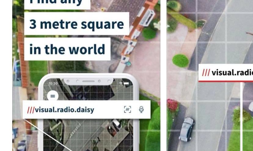
911 communicators told the man to download the what3words app, a geolocation tool that assigns a unique three-word code to every three-by-three metre square on Earth. Working together, police say the communications team and the man used the app to find the couple's exact location which was approximately 500 metres northwest of the north entrance of the forest off Line 10.
Police found the couple and brought them to safety within 34 minutes of the 911 call.
The communication team stayed on the line with them through the ordeal, keeping them calm and positive.
More about the what3wordsapp: In an emergency situation, the what3words geolocating app will help communicators pinpoint the caller's whereabouts so that officers can quickly respond to where help is needed. The app is to be used when a street address is unavailable. A municipal address is still the best way to ensure a quick response. Every three metre square in the world has been given a unique combination of three words: a what3words address. The system can be used via the free app for both iOS and Android or via the online map at what3words.comand is available in over 40 languages. The app works offline, making it ideal for use in rural areas of Canada that might have a poor or unreliable internet connection.


