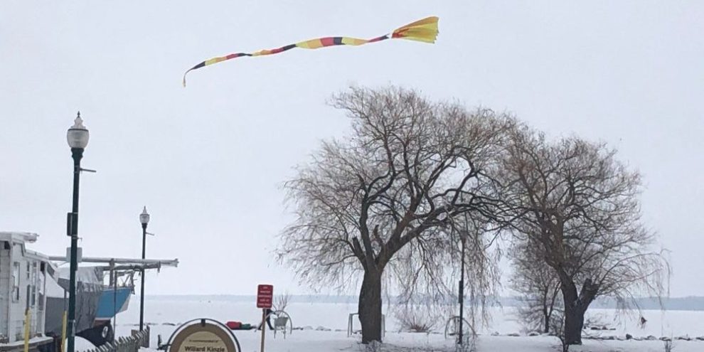
There is good news in the wind that is going to send a chill up your spine over the next couple of days: we are likely headed into an early spring.
Not that we've had much of a winter.
Environment Canada Chief Climatologist, David Phillips, says snowfall has been way down compared to last year, and the coldest it's been was minus 16 for a couple of days in mid-January, "It would have to be, you know, the Ice Age cometh for us in February to reverse that flow."
Sure, we've been hit with a lot of snow in Barrie over the past few days, but Phillips says it has only added up to 130 centimetres. Normally we'd have had 164 centimetres by now. "There hasn't been a lot of big storms, you know, a little bit here and there ... the lake effect has been missing in action."
So has the usual winter cold.
"I can't believe that the average temperature was about five degrees warmer than normal. And even the overnight lows, when we normally reach the lowest temperature, were almost seven degrees warmer than normal. It was almost tropical."
A cold day, says Phillips, is when we get down to minus 20. That hasn't happened, yet. Last year, we had 12 such days, "I think that, you know, we're kind of waiting for winter to arrive."
But will it?
While we're in for a bite of extreme cold tonight and Friday, with wind chills near minus 33, Phillips says it's not going to last. In fact, we may get some rain next week.
Still, he thinks February is going to come out colder than January, if only because January was so mild. "Our model seems to suggest that it will be seasonable to milder than normal, but not quite as spectacular and tropical, as we've seen in December and January."
banner image: Barrie 360


