
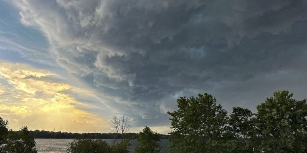
Residents across Barrie and Simcoe County are being urged to keep a close eye on the weather today, as Environment Canada warns conditions are favourable for a significant severe weather outbreak this afternoon and evening.
An initial band of thunderstorms moved through the region early this morning, bringing intense rainfall, frequent lightning and strong wind gusts. However, Environment Canada forecaster Daniel Sheldon told Barrie 360 the greatest concern remains a second round of storms expected later in the day.
The morning storms produced significant rainfall in some locations. Sheldon noted that areas upstream of Barrie received “over twenty, perhaps even locally over thirty millimeters of rain in a short time,” raising concerns about localized flooding and reduced visibility for drivers during periods of heavy rain.
While conditions may temporarily improve through the mid to late morning, forecasters are closely watching what could develop later in the day.
“The environment today is quite volatile,” Sheldon said. “So the ceiling for severe weather today is kind of higher than it usually is, probably one of the higher potential days that we've had this season so far.”
The most concerning period is expected from mid to late afternoon through at least the mid-evening hours. Sheldon said there remains some uncertainty about where the most intense storms will develop, but Barrie remains firmly within the risk area.
“There’s a potential Barrie and area, you can be right in the thick of it,” he said. “There’s also the potential that the most intense weather could actually be just slightly to the south of you. But you're definitely in the risk.”
If severe thunderstorms develop as forecast, hazards could include golf ball-sized hail, destructive wind gusts exceeding 110 km/h and even isolated tornadoes.
Heavy rainfall will also remain a concern as warm, moisture-rich air moves into the region. Sheldon said storms are expected to move quickly, but could still deliver very intense bursts of rain.
“Downpours are going be like just like a tropical downpour,” he said. “Lots of lightning too.”
Environment Canada is encouraging residents to stay informed throughout the day by monitoring forecasts, watches and warnings. People are advised to secure loose outdoor items, have a way to receive emergency weather alerts and seek shelter immediately if threatening weather approaches.