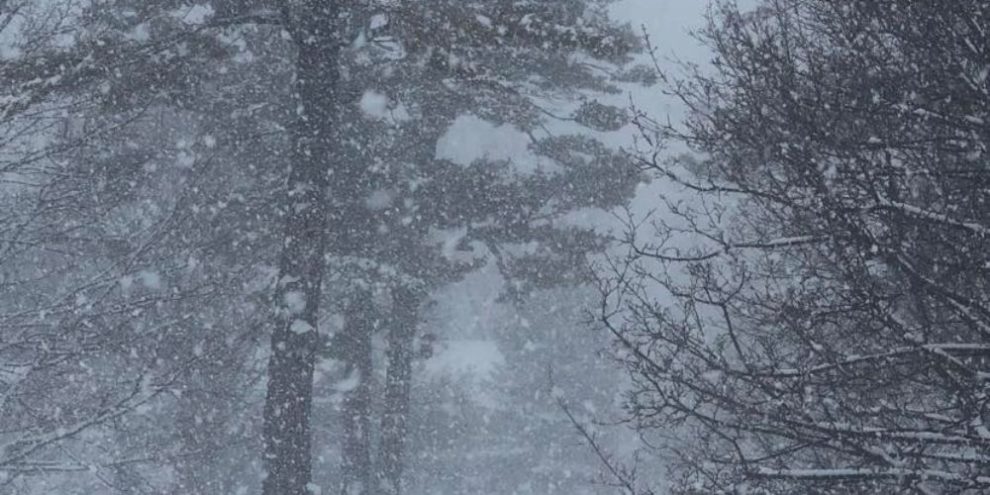
Well, we knew it was bound to happen, and it looks like the first significant snow squalls of the season are going to fire up across parts of the region.
Strong west and then northwest winds off Georgian Bay will be the tonic for this wintry blast.
Environment Canada says squalls will start this morning in Parry Sound and the Huntsville area where 10 to 15 cm can be expected by this evening.
Then on Monday afternoon, heavy flurries and squalls will fire up elsewhere in Muskoka, northern Simcoe County including Midland and Orillia, and further south to Barrie and west over to Collingwood.
The squalls in these areas are expected to intensify Monday night, and will persist through the day Tuesday, with between 20 and 35 cm of snow.
Snowfall rates possibly exceeding 5 to 10 cm per hour are possible in the most intense bands.
"Snowfall amounts will be highly variable as the lake effect bands will likely meander. However, if they lock in, some locations may receive significantly higher amounts," according to Environment Canada.
In addition to the snow, wind gusts to 50 km/h will cause extensive blowing and drifting snow.
"Rapidly accumulating snow could make travel difficult over some locations. Road closures are possible," warned Environment Canada.
Wednesday is expected to be less eventful with clouds and flurries.


