Updated February 13, 2025 @ 1:36pm
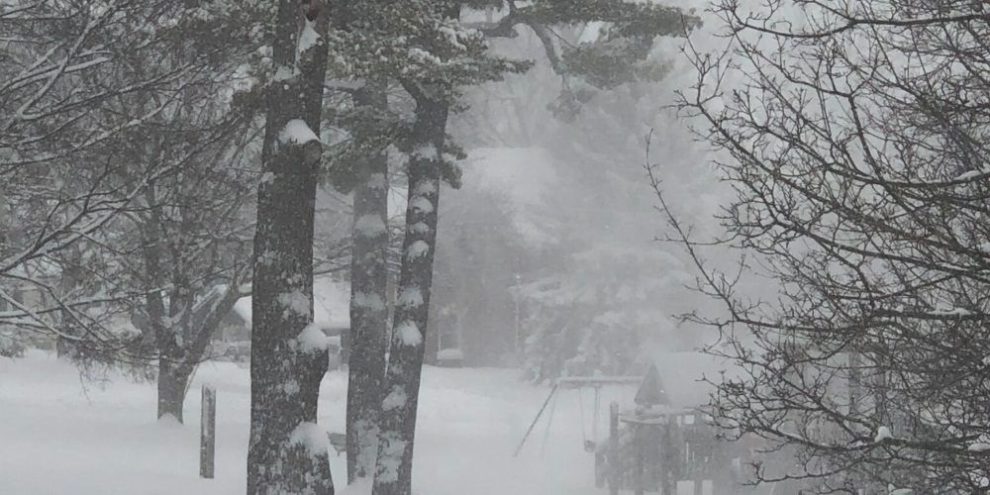
There will be little breathing room between the winter storm that blew through southern Ontario overnight into Thursday morning and the next series of storms expected to strike the region through Family Day weekend.
On top of that, Environment Canada has posted snow squall warnings for Barrie, Orillia, Simcoe County, Grey County and northern sections of York and Durham including Newmarket and Beaverton.
Northwest winds will gust to 60 km/h causing lake effect squalls off Lake Huron and Georgian Bay. Forecasters say squalls will begin late this afternoon or early this evening and end Friday afternoon. Snowfall amounts will be very localized, in the 10-40 cm range, with the highest amounts in areas where squalls are most intense and become locked in.
Those squalls could also tease parts of Muskoka, so forecasters have issued a watch for areas like Bracebridge, Gravenhurst, Port Severn and Port Carling.
Two separate systems will blanket southern Ontario on Saturday and again on Sunday, with the latter expected to be the stronger of the two, though Environment Canada has not said how much snow will fall.
Barrie's News Delivered To Your Inbox
By submitting this form, you are consenting to receive marketing emails from: Central Ontario Broadcasting, 431 Huronia Rd, Barrie, Ontario, CA, https://www.cobroadcasting.com. You can revoke your consent to receive emails at any time by using the SafeUnsubscribe® link, found at the bottom of every email. Emails are serviced by Constant Contact
Behind Sunday's storm, another round of snow squalls will last through Monday night.
It's too early to pinpoint which locations will get the heaviest dumping.
Related: https://barrie360.com/storm-watch
Related: GO Transit shakes up train schedule on Barrie line due to winter storm.