Environment Canada forecaster Daniel Liota says the change from rain to snow will take place this morning.
"Probably between eight and 10 a.m., we'll probably see a full change over to snow. There's actually a more coherent area of precipitation that's approaching Barrie from the southwest. So if the precipitation intensities, you know, a little bit stronger, you could even see some wet snow mixing in with that rain.
TEMPERATURE DROP
"The temperatures are going to fall through the day. It's not going to be a hugely steep drop. But, by the end of the afternoon, we'll see temperatures around minus seven, so it's going to be drastically cooler. And with that, the snow will become, drier and fluffier."
FLASH FREEZE?
"In terms of our criteria for flash freeze, it is a bit below that criteria. But, given that it still is a fairly considerable drop in temperature, you could still very well get slippery sections and ice development on untreated surfaces. So, it's still going to be an issue today. Whatever precipitation is falling, you know, surfaces can definitely become icy and slippery by this afternoon."
WIND
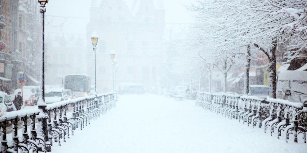
"We'll see westerly winds gusting upwards of 90 kilometres per hour, by this afternoon. That will make way for extensive blowing and drifting snow. So, that'll be the primary issue for the day and into tonight. It's going to be not so much the snow amounts. But the wind, first off, and second off, is going to be the reduction in visibility. Travel will be very treacherous. And there can be some whiteout conditions at times this afternoon and into the evening.
TONIGHT
"What we will start to see is more of a lake effect snow on the backside of the system develop. For now, it kind of looks like the heaviest lake effect snow should just be north of Barrie, but can perhaps get just north, maybe into the Midland, Coldwater, and Washago areas. And in these regions, we could see more extensive blowing snow, higher accumulations, and perhaps even blizzard-like conditions for areas that are more exposed. That'll be tonight into tomorrow. For Barrie-proper, it looks like that should stay mostly off to the north through tonight and through tomorrow."
CHRISTMAS EVE
"It is possible by the evening (Saturday) that this lake effect snow will move just south into the Barrie area so we'll see some, at least brief, whiteout conditions and accumulating snow.
CHRISTMAS DAY
"A nice kind of snow flurry day kind of day for Christmas. We've got some flurries and fresh snow. It might be a nicer day by Sunday, but until then we have to endure the strong winds and dangerous travel conditions."
banner image: pxhere